Luxembourg researchers contributed to EU’s new Flood Monitoring tool
30 November 2021
How can research support flood management? What can its technologies do to support preparatory measures before major floods?
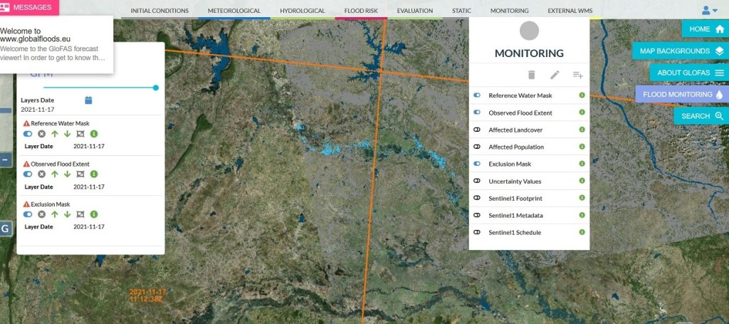
Launched by the Joint Research Centre, the European Commission’s science and knowledge service, the Global Flood Monitoring tool is designed to monitor ongoing floods around the world. A team of researchers from the Luxembourg Institute of Science and Technology (LIST) developed one of the three algorithms for extracting satellite data.
Improving both the emergency response and the prevention for future floods worldwide
Making the most of the synthetic aperture radar of Sentinel-1 that enables image acquisitions regardless of weather or daylight conditions, the Global Flood Monitoring tool will improve both the emergency response and the prevention for future floods worldwide.
The Global Flood Monitoring tool allows users to better prepare for an upcoming flood and to better react to an ongoing flood. This systematic, global, high-resolution monitoring represents a significant advance in EU disaster awareness and prevention.
This revolutionary tool produces flood monitoring maps in less than 8 hours after the satellite has acquired the image. For Europe, the tool can provide flood monitoring maps updated every 1-3 days. For areas outside Europe, the update of flood maps can take between 6-12 days depending on the Sentinel-1 schedule.
The tool is available free of charge to the civil protection services of the EU Member States and its partners.
The Global Flood Monitoring tool is part of the Copernicus emergency management service. Copernicus is an EU programme aimed at developing European information services based on satellite Earth Observation and in situ (non space) data.
A seasoned Luxembourg research team
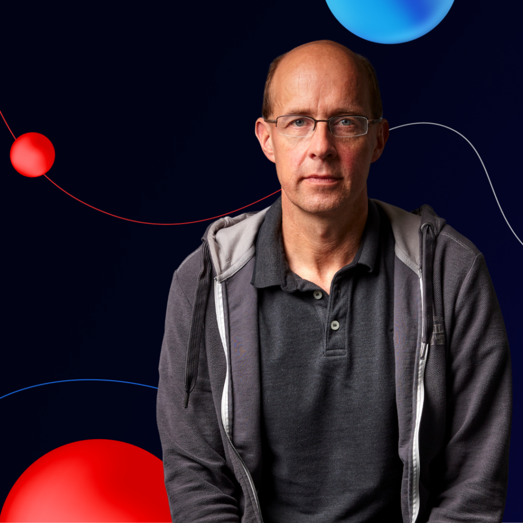
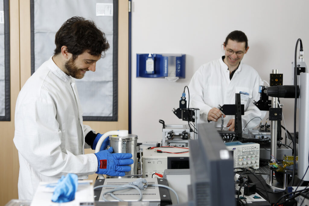
LIST researchers Patrick Matgen, Ramona Pelich, Marco Chini, Renaud Hostache, and Yu Li developed one of the three algorithms for extracting satellite data.
“We have been working on flood monitoring technologies for 15 years. We are grateful to the National Research Fund and the European Space Agency for having funded this research for so many years […] We are proud that our algorithm is now a central component of the operational GFM service.”
Patrick Matgen, Group Leader at LIST
The research team has already generated many flood maps using satellite data using the HASARD® tool.

More about the Luxembourg Remote Sensing and Natural Resources Modelling research group.
Similar articles
-
10.04.2024
10 selected Research Luxembourg results – March 2024
New solutions for digital information storage; fragments of a giant scorpion; what science says about “hypoallergenic” animals; a new tool… -
09.04.2024

SciLux podcast – Dagny Aurich on Environmental Cheminformatics
We know only the tip of the iceberg when it comes to chemicals in our environment, and the rest remains… -
11.03.2024
10 selected Research Luxembourg results – January & February 2024
The link between allergies and brain cancer; a revolutionary microscope to see the nanoscopic and a chemical composition; predicting the… -
14.02.2024

SciLux podcast – Tim Huber, Senior R&T Associate in Materials Engineering
Tim Huber has chosen to focus his research on sustainable materials, which means using renewable resources to create novel materials,… -
16.01.2024
SciLux podcast – Marc Suhrcke, Program Leader & Professor of Global Health Economics
The complex interplay between health and socio-economic factors is a two-way street; not only does health influence socio-economic outcomes, but… -
09.01.2024
10 selected Research Luxembourg results – December 2023
A method for predicting mega-floods; an unknown earthworm; a protein that protects our genes; the impact of urban green spaces… -
20.12.2023
Revolutionising Future Refrigeration Systems With A New Cooling Mechanism
Luxembourg scientists have developed a regenerator that could eventually replace the conventional compressor and the environmentally harmful fluids in current… -
11.12.2023

10 selected Research Luxembourg results – November 2023
A correlation between pollution and obesity; quantum mechanics and pharmacology; a new refrigeration system; an early detection of Parkinson’s disease:…